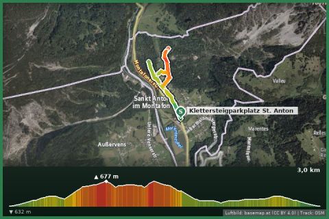
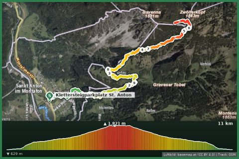
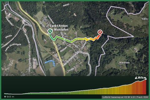
 Aerial imagery basemap.at (CC BY 4.0) · track OSM
St. Anton in the Montafon - Waterfall
Montafon
Aerial imagery basemap.at (CC BY 4.0) · track OSM
St. Anton in the Montafon - Waterfall
Montafon
easy
Sunny loop above the entrance to the Montafon – Maisäß meadows, patches of forest and views of Bludenz and the Rätikon.
Lorüns is the smallest municipality of the Montafon and lies where the valley opens out into the Walgau. The Lorünserberg loop from the state hiking network climbs from the village onto the sunny slope, leads through meadows and light forest past old Maisäß huts and back to the village. Over about 3.5 kilometres you gain some height, and in return the view opens up over Bludenz to the Walserkamm and the Rätikon peaks.
A quiet, little-frequented loop for a morning or afternoon – easy to combine with a visit to Bludenz (5 minutes) or a ride up the Muttersberg.
Start in Lorüns (bus stop Lorüns Dorf / Lorüns station of the Montafonerbahn), signposted “Rundweg Lorünserberg”.
Landbus Montafon (lines 650/670/680) and Montafonerbahn Bludenz–Schruns; connections at vmobil.at.
Please check parking at the starting point on site (hiking car parks are usually signposted).
Emergency: Alpine rescue 140 · Euro emergency 112 · Ambulance 144
All information without guarantee. Please check weather, opening hours and cable car operating times before setting off. Alpine tours require personal responsibility, suitable equipment and experience.
📚 Listed in: Vorarlberg hiking route network
Last updated: 13 Sep 2026 · Map data © OpenStreetMap contributors (ODbL)