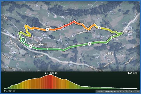
 Aerial imagery basemap.at (CC BY 4.0) · track OSM
Bartholomäberg via Chrestlis Egg to Filters/Fernblick
Montafon
Aerial imagery basemap.at (CC BY 4.0) · track OSM
Bartholomäberg via Chrestlis Egg to Filters/Fernblick
Montafon
easy ❄️ winter
Sunny hillside walk over the Barthold Rank (1,393 m) from Bartholomäberg to Innerberg: 4.6 km, 308 m of ascent, 2 hours – back by bus 640.
This route links the two villages on the sunny slope above Schruns: from the baroque church of Bartholomäberg (1,087 m) the path climbs via the Roferweg, the Riederhof and Sassella to the Barthold Rank at 1,393 m, the highest point, and then drops via the Tröllerweg, Botzis and Stelza to Innerberg. 4.64 km, 308 m up and 217 m down, about 2 hours, moderate because of the steady climb. The slope faces south, which makes this one of the sunniest winter walks in the valley; opposite stand the Hochjoch and the Verwall, down the valley the Rätikon with the Zimba. According to the provincial trail data the paths here are mostly cleared, partly groomed around Innerberg.
Getting there from our house: 20 minutes by car (car park opposite the church) or bus 650 to Schruns and bus 640 to Bartholomäberg Kirche. Line 640 terminates in Innerberg at the “Gasthaus Mühle” stop – so you get back to the start comfortably. Please note: the Gasthaus Mühle in Innerberg ended its regular restaurant service in June 2026, so plan refreshments in Bartholomäberg or afterwards in Schruns.
The plotted track follows the marked trails according to OpenStreetMap; see the map, elevation profile and GPX file above. Please follow the signposting on site.
Sturdy winter boots, poles for the descent to Innerberg. Check the line 640 timetable beforehand (vmobil.at) – buses are not frequent. After fresh snow the path is not groomed straight away.
Landbus Montafon (lines 650/670/680) and Montafonerbahn Bludenz–Schruns; connections at vmobil.at.
Please check parking at the starting point on site (hiking car parks are usually signposted).
Emergency: Alpine rescue 140 · Euro emergency 112 · Ambulance 144
All information without guarantee. Please check weather, opening hours and cable car operating times before setting off. Alpine tours require personal responsibility, suitable equipment and experience.
Last updated: 13 Sep 2026 · Map data © OpenStreetMap contributors (ODbL)
Aerial imagery basemap.at (CC BY 4.0) · track OSM
Bartholomäberg via Chrestlis Egg to Filters/Fernblick
Montafon
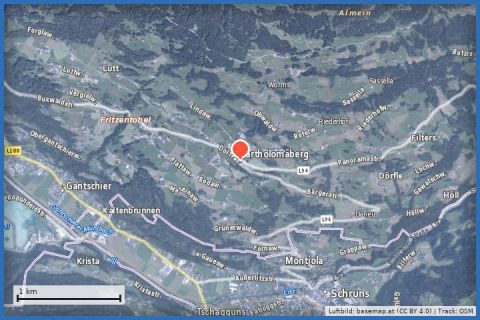 Aerial imagery basemap.at (CC BY 4.0) · track OSM
Bartholomäberg to the Wannaköpf (2,031m)
Montafon
Aerial imagery basemap.at (CC BY 4.0) · track OSM
Bartholomäberg to the Wannaköpf (2,031m)
Montafon
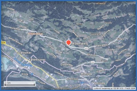 Aerial imagery basemap.at (CC BY 4.0) · track OSM
Bartholomäberg via Neyers-Legi to the historischen Bergwerk
Montafon
Aerial imagery basemap.at (CC BY 4.0) · track OSM
Bartholomäberg via Neyers-Legi to the historischen Bergwerk
Montafon