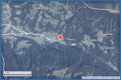
 Aerial imagery basemap.at (CC BY 4.0) · track OSM
Von Silbertal to the Almhütte Fellimännle and retour
Silbertal
Aerial imagery basemap.at (CC BY 4.0) · track OSM
Von Silbertal to the Almhütte Fellimännle and retour
Silbertal
moderate ❄️ winter
Into the upper Silbertal: 7.2 km from the Felsa car park along the Litz to the Almhütte Fellimännle and back – the hut is closed in winter, which makes it all the quieter.
Beyond the village of Silbertal the valley becomes narrow and quiet. This walk follows it 7.2 km in and out again: from the Felsa car park by the Silbertal open-air stage – a natural arena of around 20,000 m² – along the Litz, over the Bannwald bridge and past Bärenschlager to the Almhütte Fellimännle at a little over 1,100 m, then back the same way. The track adds up to 428 m of ascent and around three hours. The hut, known in summer for its trout, game and home-made cheese, is not open in winter – so you will usually have the river and the forest to yourself, which many people value.
Unlike the village trails, only a small part of this route lies within the state's winter trail network; it mostly follows the valley road and forest road, which depending on conditions may be groomed, cleared or simply snow-covered. The valley is lined by steep slopes, so the walk is recommended only when the avalanche situation is favourable. From our house take buses 650 and 680 to Silbertal (about 35 minutes) or drive 22 minutes; the hikers' bus into the upper valley runs in summer only.
The route leads via Freilichtbühne Silbertal and Almhütte Fellimännle and back to the starting point.
The plotted track follows the marked trails according to OpenStreetMap; see the map, elevation profile and GPX file above. Please follow the signposting on site.
Take food and a thermos flask – there is nowhere to eat along the way in winter. Read the avalanche bulletin (lawine-vorarlberg.at) beforehand and skip the walk at danger level 3 or higher. Sturdy, warm boots, perhaps gaiters; the narrow valley turns shady and cold early in the day.
Landbus 680 Schruns–Silbertal to the Kristberg cable car valley station; hiking bus into the upper Silbertal (summer). From St. Gallenkirch via Schruns approx. 35 min.
Free car park at the Kristberg cable car in Silbertal.
Emergency: Alpine rescue 140 · Euro emergency 112 · Ambulance 144
All information without guarantee. Please check weather, opening hours and cable car operating times before setting off. Alpine tours require personal responsibility, suitable equipment and experience.
Last updated: 13 Sep 2026 · Map data © OpenStreetMap contributors (ODbL)
Aerial imagery basemap.at (CC BY 4.0) · track OSM
Von Silbertal to the Almhütte Fellimännle and retour
Silbertal
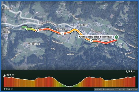 Aerial imagery basemap.at (CC BY 4.0) · track OSM
No. 25: Village cross-country trail Silbertal (classic)
Silbertal
Aerial imagery basemap.at (CC BY 4.0) · track OSM
No. 25: Village cross-country trail Silbertal (classic)
Silbertal
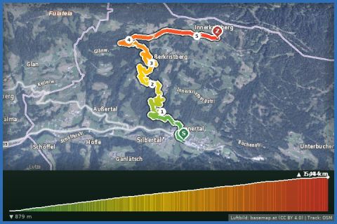 Aerial imagery basemap.at (CC BY 4.0) · track OSM
Silbertal to Kristberg
Silbertal
Aerial imagery basemap.at (CC BY 4.0) · track OSM
Silbertal to Kristberg
Silbertal