 Aerial imagery basemap.at (CC BY 4.0) · track OSM
Von of the Silvretta-Bielerhöhe to the Wiesbadener Hut
Partenen/Bielerhöhe
Aerial imagery basemap.at (CC BY 4.0) · track OSM
Von of the Silvretta-Bielerhöhe to the Wiesbadener Hut
Partenen/Bielerhöhe
difficult ❄️ winter
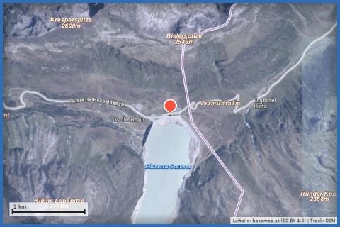
Along the winter-closed Silvretta High Alpine Road from the Bielerhöhe to Wirl near Galtür and back: 17 km, 5 hours, from Vorarlberg into Tyrol and home again.
In winter the pass road belongs to walkers: from the Bielerhöhe (2,037 m) the winter trail follows the Silvrettasee across the eastern dam – where the state border runs – and then descends gently along the closed Silvretta High Alpine Road into the upper Paznaun valley as far as Wirl, the part of Galtür at the Birkhahnbahn valley station (around 1,630 m). You return the same way, climbing back up: 17.2 km, 406 m of ascent, around five hours of pure walking time, listed by the Bielerhöhe operator as the most athletic of the three secured winter trails up there. The backdrop is the Silvretta with the Piz Buin (3,312 m), first above the lake and then behind you.
Logistics are the crux: the Bielerhöhe can only be reached by the Vermuntbahn and tunnel bus from Partenen (winter 2026/27 according to the operator 25 December 2026 to 18 April 2027, 8 am–12 noon and 1–4 pm, last descent at 4 pm), so take the first ascent and set off by 10 am at the latest. If you prefer to walk one way only, take the bus from Wirl to Galtür – but the journey back to the Montafon then goes via Landeck and the Arlberg and takes several hours, or you stay overnight in the Paznaun. From our house to Partenen it is 10 minutes by car or bus 650.
The route leads via Silvrettasee (Winter) and back to the starting point.
The plotted track follows the marked trails according to OpenStreetMap; see the map, elevation profile and GPX file above. Please follow the signposting on site.
Only in stable weather and with a favourable avalanche situation (lawine-vorarlberg.at and lawinen.report for Tyrol) – the road crosses avalanche slopes and is closed when there is danger; ask the cable car staff for advice. Stamina for five hours above 1,600 m, provisions, head torch, spikes. Refreshments on the Bielerhöhe (Silvrettahaus) and in Wirl.
Landbus 650 to Partenen, then Vermunt cable car + tunnel bus to the Bielerhöhe (summer 2026: 20 June–4 Oct, uphill 8–12 and 13–16:30, last descent 17:00). Approx. 1 h in total from St. Gallenkirch.
Note: the Silvretta High Alpine Road is closed on the Vorarlberg side after rockfalls, expected until 2030 – car access only from Tyrol (Galtür). The Vermunt cable car car park in Partenen is closed in 2026 for construction; use alternative parking in Partenen village.
Emergency: Alpine rescue 140 · Euro emergency 112 · Ambulance 144
All information without guarantee. Please check weather, opening hours and cable car operating times before setting off. Alpine tours require personal responsibility, suitable equipment and experience.
Last updated: 13 Sep 2026 · Map data © OpenStreetMap contributors (ODbL)
Aerial imagery basemap.at (CC BY 4.0) · track OSM
Von of the Silvretta-Bielerhöhe to the Wiesbadener Hut
Partenen/Bielerhöhe
 Aerial imagery basemap.at (CC BY 4.0) · track OSM
Silvretta-Bielerhöhe ski area
Partenen
Aerial imagery basemap.at (CC BY 4.0) · track OSM
Silvretta-Bielerhöhe ski area
Partenen
 Aerial imagery basemap.at (CC BY 4.0) · track OSM
No. 3: Silvretta high trail, medium
Partenen
Aerial imagery basemap.at (CC BY 4.0) · track OSM
No. 3: Silvretta high trail, medium
Partenen