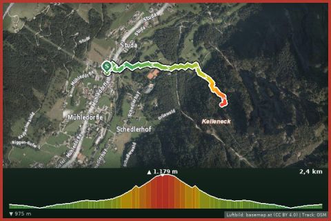
 Aerial imagery basemap.at (CC BY 4.0) · track OSM
Via ferrata Kellenegg
Dalaas · Klostertal
Aerial imagery basemap.at (CC BY 4.0) · track OSM
Via ferrata Kellenegg
Dalaas · Klostertal
moderate · C
A bold line through the east face of the Saulakopf with a ladder bridge and summit ridge – described by many as the finest via ferrata in the Montafon.
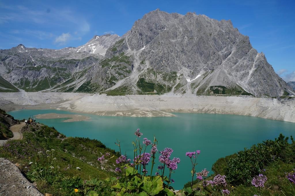
The Saulakopf (2,517 m) stands as a rock tooth between the Rellstal and the Lünersee, and its via ferrata ranks among the finest in the region in German and English guides alike: from the Heinrich-Hueter-Hütte (or from the Douglass hut at the Lünersee) you reach the start below the mighty east face, which the route climbs directly and steeply. A ladder bridge, the key section under the overhanging part of the wall (C/D) and the exposed summit ridge with views of the Zimba and Lünersee define the tour. Exit options are available before the key section.
Descend via the Saulajoch back to the hut; about 5 to 6 hours in total, 800 m of ascent. The tour demands stamina, arm strength and an absolute head for heights – not suitable for beginners.
The route leads from Douglass-Hütte via Saulajoch (2.065 m) and Saulakopf (2.517 m) and back to the starting point.
The plotted track follows the marked trails according to OpenStreetMap; see the map, elevation profile and GPX file above. Please follow the signposting on site.
Access: Rellstal hiking bus from Vandans to the Heinrich-Hueter-Hütte or the Lünersee cable car from Brand. Start early; the east face is in the sun in the morning.
Montafonerbahn to Bludenz, Landbus 580 to the Lünersee cable car (approx. 1 h 15 in total).
Paid car park at the valley station, full early on fine days.
Emergency: Alpine rescue 140 · Euro emergency 112 · Ambulance 144
All information without guarantee. Please check weather, opening hours and cable car operating times before setting off. Alpine tours require personal responsibility, suitable equipment and experience.
Last updated: 13 Sep 2026 · Map data © OpenStreetMap contributors (ODbL)
Aerial imagery basemap.at (CC BY 4.0) · track OSM
Via ferrata Kellenegg
Dalaas · Klostertal
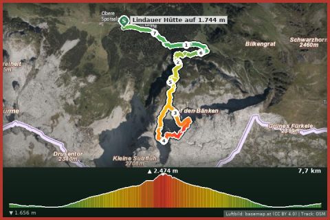 Aerial imagery basemap.at (CC BY 4.0) · track OSM
Via ferrata Gauablick
Tschagguns
Aerial imagery basemap.at (CC BY 4.0) · track OSM
Via ferrata Gauablick
Tschagguns
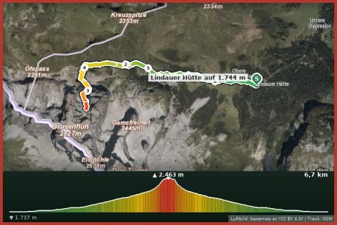 Aerial imagery basemap.at (CC BY 4.0) · track OSM
Via ferrata Drusenfluh
Tschagguns
Aerial imagery basemap.at (CC BY 4.0) · track OSM
Via ferrata Drusenfluh
Tschagguns