 Aerial imagery basemap.at (CC BY 4.0) · track OSM
Edelweiss Tour Gargellen
Gargellen
Aerial imagery basemap.at (CC BY 4.0) · track OSM
Edelweiss Tour Gargellen
Gargellen
moderate
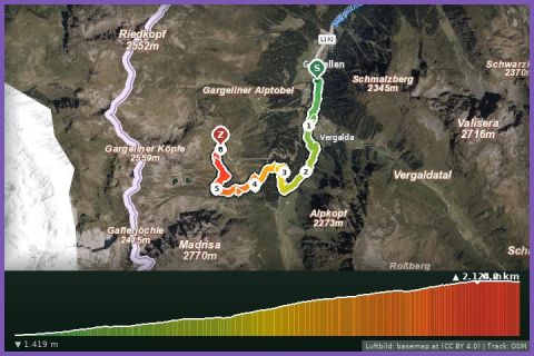
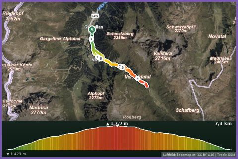
3.4 km short running loop from the Gargellen cable cars into the Vergalda valley and back – 167 m of ascent, ideal for a warm-up or as a kids' trail.
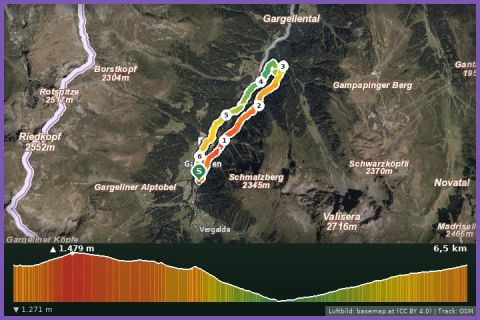
The Vergalda loop is the shortest of the Gargellen running routes. From the cable car car park (1,421 m) you run along the stream into the Vergalda valley, climb to the huts of Vergalda at 1,588 m and return on the other side of the valley. According to the track 3.4 km and 167 m of ascent, guideline 40 minutes walking time – a scant half hour when run. The route is recorded in OpenStreetMap as the “Vergalda Tour” circuit; the surface is alp and meadow tracks that run well even after rain. All the while you look into the quiet Vergalda valley stretching towards Switzerland below the Madrisa (2,770 m).
We recommend the loop as a warm-up before the Schafberg run, as a cool-down after the Röbi-Rüti route or as a first trail experience for children who want to run along. Afterwards a coffee in the village is worth it, and in summer so is the ride up on the Schafbergbahn to the Schmugglerland at the top of the Schafberg. From our house bus 670 runs hourly and takes about 20 minutes to the Schafbergbahn stop; by car it is 10 km, and parking at the cable cars is free.
The plotted track follows the marked trails according to OpenStreetMap; see the map, elevation profile and GPX file above. Please follow the signposting on site.
Free, runnable all year. At 1,500 m it cools quickly in the evening – pack an extra layer. Dogs on a lead, this is grazing land.
Landbus 670 Schruns–St. Gallenkirch–Gargellen (hourly), stop Gargellen Schafberg cable car; approx. 20 min from St. Gallenkirch.
Free parking at the Schafberg cable car in Gargellen and at the end of the village (Vergalden).
📚 Listed in: OpenStreetMap
Last updated: 13 Sep 2026 · Map data © OpenStreetMap contributors (ODbL)