 Aerial imagery basemap.at (CC BY 4.0) · track OSM
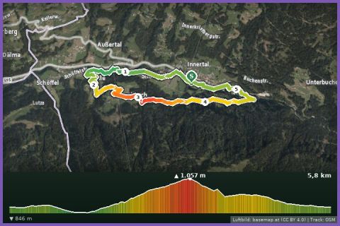
Ganlätsch Loop
Silbertal
Aerial imagery basemap.at (CC BY 4.0) · track OSM
Ganlätsch Loop
Silbertal
moderate
From the Silbertal sports ground steeply up through beech woods and across mountain meadows, back past the Teufelsbach waterfall – 8.2 km, 411 m of ascent.
The Buchen Loop is one of the routes that open up the Silbertal-Kristberg running network from the village: 8.2 km and 411 m of ascent between 877 and 1,218 m, graded moderate. From the sports ground you run along the Litz into the centre, over the church bridge and along the Buchenstraße – and then comes the hardest part straight away, a long, steep climb via Fula and Schöni into the Gsteinerwald forest. Up top you run through the beech woods and mountain meadows of Innerbuchen that give the loop its name, before dropping over the Bannwald bridge to the Teufelsbach waterfall. The path along the Teufelsbach doubles as a small adventure trail with a raised hide, long-jump pit, sound installation and balance beam that keeps children entertained too. The surface alternates between path, gravel and tarmac; the 1 hour 39 minutes in our fact box is a guide value for brisk walking.
Silbertal (about 890 m) is the Montafon's quiet side valley – little traffic, lots of forest, and the mining museum in the village as a rainy-day alternative. Water is available at the sports ground and in the village, not on the way. From our house in St. Gallenkirch it is a 21-minute drive; bus 650 to Schruns and bus 680 onwards takes about 35 minutes.
The route leads via Teufelsbach, Weitsprung, Klangspiel, Infotafel - Wegbeschreibung and Hochsitz and back to the starting point.
The plotted track follows the marked trails according to OpenStreetMap; see the map, elevation profile and GPX file above. Please follow the signposting on site.
The opening climb is steep – better to start walking and run once you are up. After rain the roots and bridges along the Teufelsbach are slippery; do not leave children unattended on the adventure trail.
Landbus 680 Schruns–Silbertal to the Kristberg cable car valley station; hiking bus into the upper Silbertal (summer). From St. Gallenkirch via Schruns approx. 35 min.
Free car park at the Kristberg cable car in Silbertal.
Last updated: 13 Sep 2026 · Map data © OpenStreetMap contributors (ODbL)
Aerial imagery basemap.at (CC BY 4.0) · track OSM
Ganlätsch Loop
Silbertal
 Aerial imagery basemap.at (CC BY 4.0) · track OSM
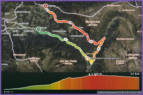
Wasserstuben mountain run
Silbertal
Aerial imagery basemap.at (CC BY 4.0) · track OSM
Wasserstuben mountain run
Silbertal
 Aerial imagery basemap.at (CC BY 4.0) · track OSM
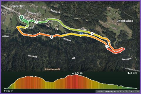
Teufelsbach waterfall loop
Silbertal
Aerial imagery basemap.at (CC BY 4.0) · track OSM
Teufelsbach waterfall loop
Silbertal