 Aerial imagery basemap.at (CC BY 4.0) · track OSM
Kristberg Lakes Loop
Silbertal
Aerial imagery basemap.at (CC BY 4.0) · track OSM
Kristberg Lakes Loop
Silbertal
difficult 🎫 Card
Long high-level run from the Kristberg over the Wildried moor through the Wasserstuben valley to the Obere Wasserstubenalpe (1,731 m) and back – 16.5 km, 858 m of ascent.
This route is the long high-level run on the Kristberg: 16.5 km there and back, 858 m of ascent, between 1,451 and 1,731 m, graded difficult. From the Kristbergbahn top station it heads east via Innerkristberg to the Wildried, a raised bog at about 1,560 m with a small chapel, then past a hunting lodge down to the Untere Wasserstubenalpe and steadily up through the Wasserstuben valley, a quiet side valley of the Silbertal, to the Obere Wasserstubenalpe at its head. The Montafon Sura Kees cheese is made on this dairy alp in summer – the stop at the turning point is the real reason to run here. You return the same way. The surface is alp and forest track throughout, partly narrow and rooty; the 3 hours in our fact box is a guide value for brisk walking.
As an alternative to retracing your steps, you can descend through the Wasserstuben valley to Silbertal, the line also used by the running network's Wasserstuben mountain run – then bus 680 back from Silbertal. The Kristbergbahn runs in summer 2026 from 1 May to 1 November and is included in the Freizeit-WildPass. From our house in St. Gallenkirch it is 21 minutes to the valley station in Silbertal or 29 minutes by car up to the Kristberg; start early so the return is done before the afternoon thunderstorms.
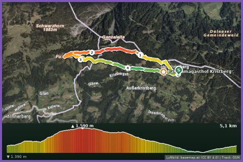
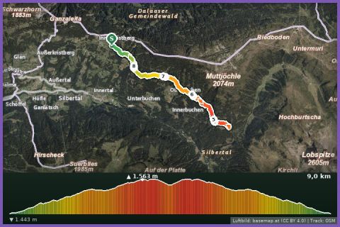
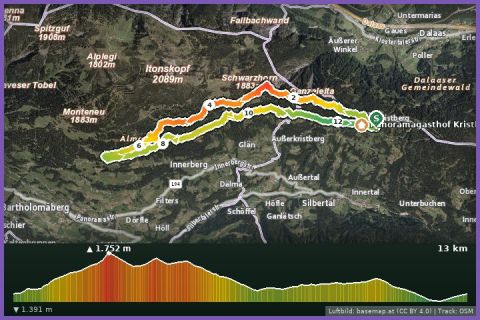
The route leads via Hochmoor Wildried and back to the starting point.
The plotted track follows the marked trails according to OpenStreetMap; see the map, elevation profile and GPX file above. Please follow the signposting on site.
Sure footing on the narrow alp paths, poles and a hydration pack with at least 1.5 litres – there is no water point before the alp. Walkers have priority and cattle should not be startled; the alp is only staffed during the alpine summer, so bring cash.
Landbus 680 Schruns–Silbertal to the Kristberg cable car valley station; hiking bus into the upper Silbertal (summer). From St. Gallenkirch via Schruns approx. 35 min.
Free car park at the Kristberg cable car in Silbertal.
Last updated: 13 Sep 2026 · Map data © OpenStreetMap contributors (ODbL)