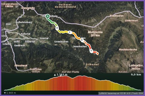
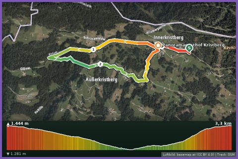
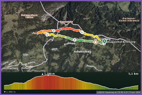
 Aerial imagery basemap.at (CC BY 4.0) · track OSM
Fulateia Loop
Silbertal
Aerial imagery basemap.at (CC BY 4.0) · track OSM
Fulateia Loop
Silbertal
moderate 🎫 Card
The big Kristberg loop across the Bartholomäberg: 14.2 km and 611 m of ascent past five mountain lakes – Hugelsee, Fritzensee, Fulasee, Torasee and Kappusee.
The Kristberg Lakes Loop is the longest and one of the most scenic routes in the Kristberg running network: 14.2 km, 611 m of ascent, between 1,389 and 1,753 m, graded difficult. From the Kristbergbahn top station it follows the miners' path to the Kristbergsattel and the Hugelsee, climbs to the Ganzaleita viewpoint and continues via Falla and Gäßtuala onto the Bartholomäberg – the sunny terrace above the Montafon that is regarded as the cradle of the valley, where ore was mined more than 1,000 years ago. There the Fritzensee, Fulasee and Torasee lie in a row; waypoints such as the Pinge (mining pit) and the Knappenweg recall the mining era, and the “coral reef” waypoint the geological history of the Bartholomäberg. Via Amas-Legi, Fulateia and Maschleu and past the Kappusee you return to the top station. Underfoot: path, gravel and tarmac; the 2 hours 49 minutes in our fact box is a guide value for hikers.
The highest section lies open above the tree line, with views from the Rätikon across the Silvretta to the Verwall – finest in clear morning light. Refreshments at the Panoramagasthof Kristberg and the inns on the Bartholomäberg, water at the top station. The Kristbergbahn runs in summer 2026 from 1 May to 1 November (Freizeit-WildPass included); from our house 21 minutes to the valley station in Silbertal or 29 minutes by car up to the Kristberg.
The route leads via Kristbergsattel, Fritzensee, Aussichtspunkt Ganzaleita, Fulasee Bartholomäberg, Torasee Bartholomäberg, Knappenweg Abzweigung, Pinge, Kristberg Riader, Waldschule and Lawinenverbauung and back to the starting point.
The plotted track follows the marked trails according to OpenStreetMap; see the map, elevation profile and GPX file above. Please follow the signposting on site.
Allow for changing weather on the open high section – take a windproof, poles and enough water. Walkers have priority on the narrow paths; note the Kristbergbahn's last descent.
Landbus 680 Schruns–Silbertal to the Kristberg cable car valley station; hiking bus into the upper Silbertal (summer). From St. Gallenkirch via Schruns approx. 35 min.
Free car park at the Kristberg cable car in Silbertal.
Last updated: 13 Sep 2026 · Map data © OpenStreetMap contributors (ODbL)