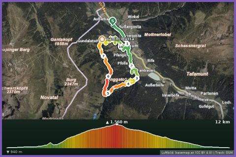
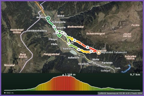
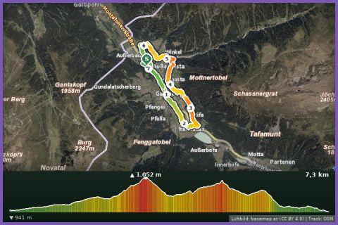
 Aerial imagery basemap.at (CC BY 4.0) · track OSM
Gaschurn village loop
Gaschurn
Aerial imagery basemap.at (CC BY 4.0) · track OSM
Gaschurn village loop
Gaschurn
moderate 🎫 Card
Vertical from the Versettla valley station in Gaschurn to Nova Stoba: 7.9 km, 1,155 m of ascent via the Fenggatobel and Maisäß hamlets – cable car back down.
The Nova Stoba Climb is the uphill route for anyone who wants to collect vertical metres in the Montafon. It starts at the valley station of the Versettla cable car in Gaschurn (964 m). The trail climbs through the Fenggatobel to the Lifinar Maisäß, traverses to the middle station of the Versettla cable car and then continues up via the Ganeu Maisäß to the Nova Stoba mountain restaurant at the top station (2,008 m). According to the track it is 7.9 km with 1,155 m of ascent and only 114 m of descent; as a hike a guideline of about 2 hours, running considerably less. The route alternates between forest roads, steep woodland paths and open Maisäß meadows, and at the top the view opens up to the Silvretta and Verwall ranges.
Once up there, the terrace of Nova Stoba is a fine place to linger, and the Versettla cable car takes you back to Gaschurn (summer 2026: 19 June to 4 October; included in the Freizeit-WildPass). If you still have energy, add the Madrisella trail run or the panorama path over the Gantakopf to Garfrescha and run down from there to us in Gortipohl. From our house it is 5 km to the valley station, about 10 minutes on bus 650.
The route leads via Ganeu Maisäß.
The plotted track follows the marked trails according to OpenStreetMap; see the map, elevation profile and GPX file above. Please follow the signposting on site.
Steep, partly rooty sections – sure-footedness and trail shoes are needed, poles help. There is no reliable water source on the way, so fill your hydration pack; the first refreshment stop is Nova Stoba. Check the last descent of the Versettla cable car, otherwise the walk down is long.
Landbus Montafon (lines 650/670/680) and Montafonerbahn Bludenz–Schruns; connections at vmobil.at.
Please check parking at the starting point on site (hiking car parks are usually signposted).
Last updated: 13 Sep 2026 · Map data © OpenStreetMap contributors (ODbL)