 Aerial imagery basemap.at (CC BY 4.0) · track OSM
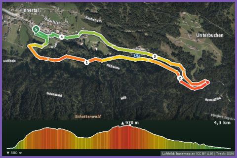
Teufelsbach waterfall loop
Silbertal
Aerial imagery basemap.at (CC BY 4.0) · track OSM
Teufelsbach waterfall loop
Silbertal
easy 👨👩👧 Family friendly 🎫 Card
The entry-level distance of the Montafon Arlberg Marathon: 16.8 km and 650 m of ascent around Silbertal – Teufelsbach waterfall, Fellimännle, Wildried and Buchen.
The Panorama Trail is the shortest adult distance of the Montafon Arlberg Marathon, which has been held since 2003 at the end of June between St. Anton am Arlberg and Silbertal (organised by Montafon Tourismus). This version is the Silbertal loop: from the sports ground past the open-air stage of the Montafon Legend Festival into the upper valley, along the Litz past the Teufelsbach waterfall to the Fellimännle inn, then up to the Wildried high moor at 1,566 m and back via the Oberbuchen and Unterbuchen alps to the waterfall and through the village to the start. According to the track 16.8 km and 650 m of ascent; the guideline of 3 hours 10 minutes is a walking time. The surface is mainly gravel forest roads and alp tracks, with hiking paths and short stretches of asphalt in the village in between.
The organiser has recently alternated the Panorama Trail between Silbertal and St. Anton – you will also find the 15 km St. Anton version in our database. As a training loop the Silbertal circuit is freely accessible all year round, with refreshments at the Fellimännle and in the village. From our house it is 16 km (around 20 minutes); by buses 650 and 680 via Schruns about 35 minutes to the Kristbergbahn valley station, from where it is 900 m to the sports ground.
The plotted track follows the marked trails according to OpenStreetMap; see the map, elevation profile and GPX file above. Please follow the signposting on site.
The climb to the Wildried is in full sun – start early and carry a hydration pack; water is available at the Fellimännle. The high moor is a protected area: stay on the paths. To shorten the loop, take the Kristbergbahn down to the valley from Kristberg (summer 2026: 1 May to 1 November).
Landbus 680 Schruns–Silbertal to the Kristberg cable car valley station; hiking bus into the upper Silbertal (summer). From St. Gallenkirch via Schruns approx. 35 min.
Free car park at the Kristberg cable car in Silbertal.
Last updated: 13 Sep 2026 · Map data © OpenStreetMap contributors (ODbL)
Aerial imagery basemap.at (CC BY 4.0) · track OSM
Teufelsbach waterfall loop
Silbertal
 Aerial imagery basemap.at (CC BY 4.0) · track OSM
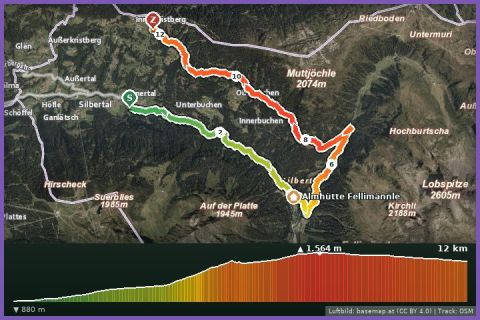
Wasserstuben mountain run
Silbertal
Aerial imagery basemap.at (CC BY 4.0) · track OSM
Wasserstuben mountain run
Silbertal
 Aerial imagery basemap.at (CC BY 4.0) · track OSM
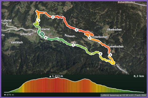
Buchen Loop
Silbertal
Aerial imagery basemap.at (CC BY 4.0) · track OSM
Buchen Loop
Silbertal