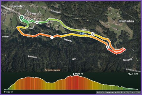
 Aerial imagery basemap.at (CC BY 4.0) · track OSM
Teufelsbach waterfall loop
Silbertal
Aerial imagery basemap.at (CC BY 4.0) · track OSM
Teufelsbach waterfall loop
Silbertal
easy 👨👩👧 Family friendly 🎫 Card
7.6 km loop from Kapell via Sennigrat and Wormser Hütte to the Kreuzjoch (2,395 m), back through the Seetal past Herzsee and Schwarzsee – 545 m of ascent.
The Seetal is the loveliest corner of the Hochjoch, and this loop runs right through it. Start at the top station of the Hochjoch cable car by the Kapell restaurant (1,855 m). The path climbs below the Sennigrat chairlift to the Sennigrat, on to the Wormser Hütte (2,307 m, DAV Worms section) and up to the Kreuzjoch (2,395 m) with its summit cross of 1957 – the highest point, with views of the Zamangspitze, Rätikon and Silvretta. Then the path drops into the Seetal: first to the Herzsee, whose heart shape gave it its name, then to the Schwarzsee, and back across the alpine meadows to Kapell. According to the track 7.6 km and 545 m of ascent, guideline 1 hour 55 minutes walking time; the surface is alpine mountain paths with boulders on the Kreuzjoch, broader alp tracks lower down.
You go up with the Hochjoch cable car from Schruns (summer 2026: 13 June to 26 October); to shorten the climb, add the Sennigrat chairlift (20 June to 4 October) and run the loop from the top. Refreshments at the Kapell restaurant and the Wormser Hütte. From our house bus 650 takes you to Schruns in about 15 minutes; the valley station is a five-minute walk from the railway station.
The route leads via L7: Kapellrestaurant, Bergstation Hochjoch Bahn, Schruns, Hochalpila, Herzsee and Schwarzsee auf dem Hochjoch and back to the starting point.
The plotted track follows the marked trails according to OpenStreetMap; see the map, elevation profile and GPX file above. Please follow the signposting on site.
The Kreuzjoch needs sure-footedness and good weather – if thunderstorms are likely, stay lower down. Poles for the descent into the Seetal, wind and rain jacket, hydration pack. The lakes are popular walking destinations: walkers have priority; keep an eye on children at the shore.
Landbus 680 Schruns–Silbertal to the Kristberg cable car valley station; hiking bus into the upper Silbertal (summer). From St. Gallenkirch via Schruns approx. 35 min.
Free car park at the Kristberg cable car in Silbertal.
Last updated: 13 Sep 2026 · Map data © OpenStreetMap contributors (ODbL)
Aerial imagery basemap.at (CC BY 4.0) · track OSM
Teufelsbach waterfall loop
Silbertal
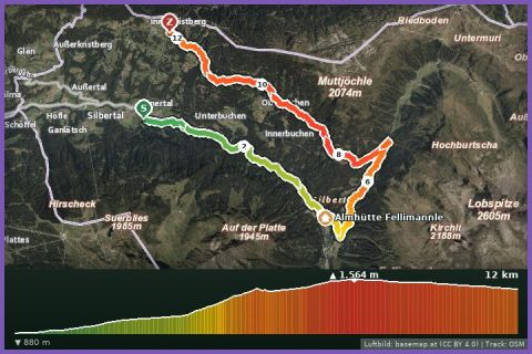 Aerial imagery basemap.at (CC BY 4.0) · track OSM
Wasserstuben mountain run
Silbertal
Aerial imagery basemap.at (CC BY 4.0) · track OSM
Wasserstuben mountain run
Silbertal
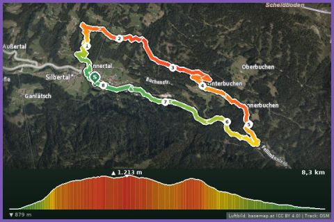 Aerial imagery basemap.at (CC BY 4.0) · track OSM
Buchen Loop
Silbertal
Aerial imagery basemap.at (CC BY 4.0) · track OSM
Buchen Loop
Silbertal