 Aerial imagery basemap.at (CC BY 4.0) · track OSM
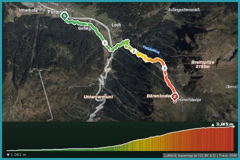
Wiegensee – Natura 2000 site
Partenen
Aerial imagery basemap.at (CC BY 4.0) · track OSM
Wiegensee – Natura 2000 site
Partenen
moderate 🎫 Card
Turquoise reservoir at 2,030 m with views of Piz Buin, flat lakeside loop (approx. 6 km) and via ferrata on the dam.
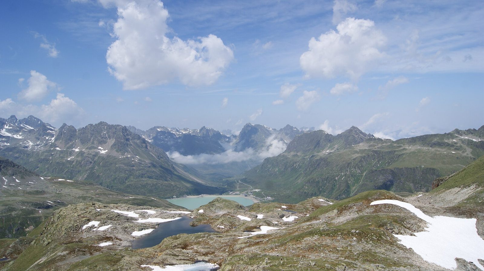
The Silvrettasee on the Bielerhöhe is the Montafon's postcard view: against the backdrop of Piz Buin and the Silvretta glaciers an almost level loop circles the lake (approx. 6 km, 1.5–2 hours, stroller-friendly). From the dam, trails lead to the Wiesbadener Hütte, into the Bieltal and to the Silvrettasee via ferrata. In 2026 reachable only by Vermunt cable car + tunnel bus from Partenen (20 June–4 Oct) or by car from Galtür (Tyrol).
Landbus 650 to Partenen, Vermunt cable car + tunnel bus.
Vorarlberg side of the high alpine road closed until 2030; Bielerhöhe car parks reachable from Tyrol only.
Last updated: 13 Sep 2026 · Map data © OpenStreetMap contributors (ODbL)
Aerial imagery basemap.at (CC BY 4.0) · track OSM
Wiegensee – Natura 2000 site
Partenen
 Aerial imagery basemap.at (CC BY 4.0) · track OSM
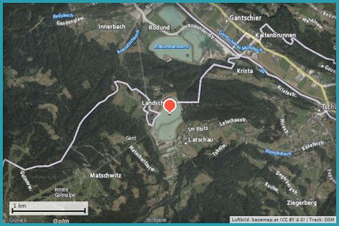
Latschau reservoir & Golm lakes
Tschagguns
Aerial imagery basemap.at (CC BY 4.0) · track OSM
Latschau reservoir & Golm lakes
Tschagguns
 Aerial imagery basemap.at (CC BY 4.0) · track OSM
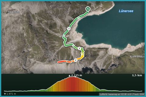
Lünersee
Brand · Brandnertal
Aerial imagery basemap.at (CC BY 4.0) · track OSM
Lünersee
Brand · Brandnertal